
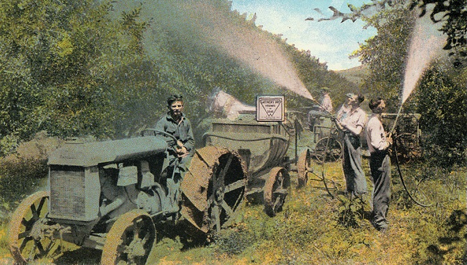
In the late 1800s, a pest called the codling moth was destroying orchards across central Washington. It burrowed into the fruit, causing it to rot. To protect the fruit, a pesticide called lead arsenate was commonly sprayed on the fruit trees. Unfortunately, the codling moth became resistant to the pesticide, and more needed to be applied over time. Lead arsenate was used between 1890 and 1950, meaning some orchards sprayed their trees for decades. The lead and arsenic in the pesticide settle in the soil. They do not break down, and stick tightly to the soil.
The result? More than 100,000 acres of former orchard lands across Central Washington still have lead and arsenic in the soil.
Using old aerial photographs, we are able to show (in orange) the locations of historical orchards in five counties – Benton, Chelan, Douglas, Klickitat, Okanogan, and Yakima. These five counties had the largest amount of orchards, meaning they likely used lead arsenate.